May 8, 2021 - Day Eight, Flight Two
Price River, Green River, IBEX Hardpan
|
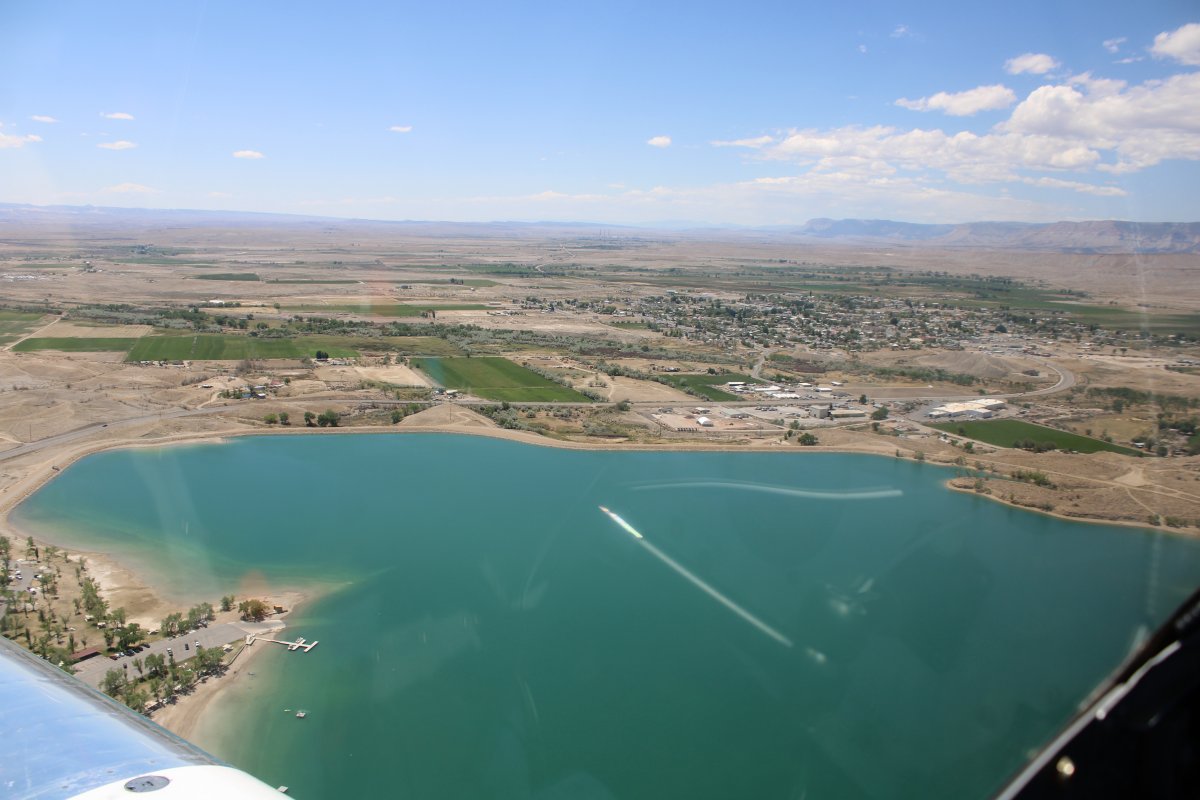
| I took off at Huntington Airport and was startled to see this big lake between the airport and the town. |
| |
 |
|
|
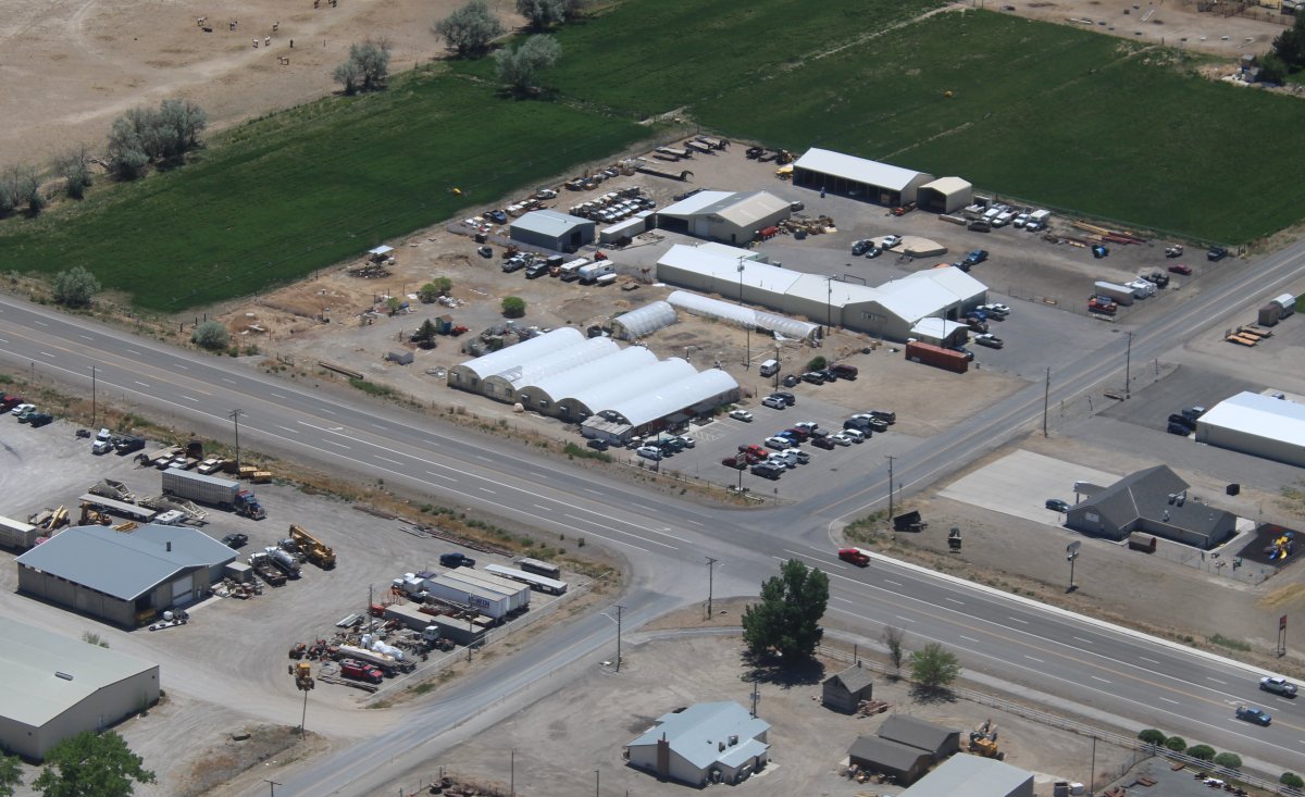
Looking down at the Ponderosa Grill which is co-located with a big nursery and greenhouse. You can eat among the flowers if you like.
|
| |
 |
|
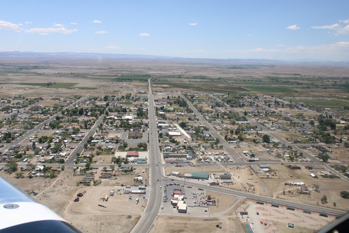
| Main street, Huntington. Not a big town -- with only one motel I could see -- but thanks to the courtesy car, Huntington would be a good overnight stop. It certainly is located near some fantastic flying. |
| |
 |
|
|
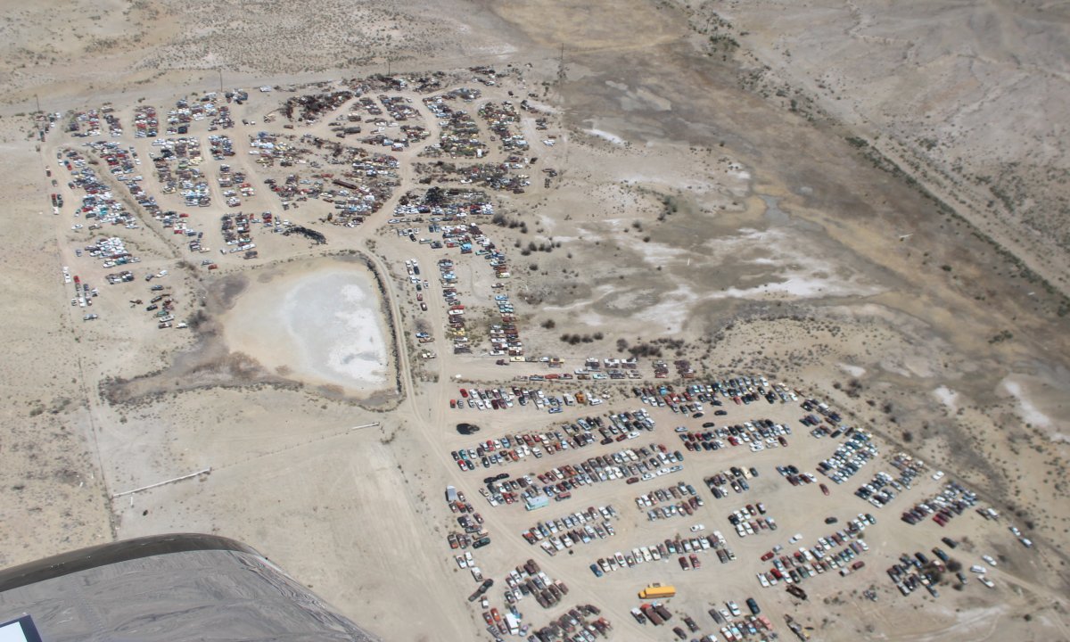
Checking out a big auto junkyard.
|
| |
 |
|
|
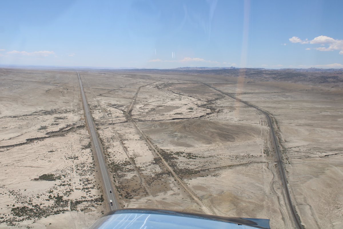
The plan was to fly east, get on the Price River and following it to the Green River.
Here, I'm looking northwest at the Price River as it comes down from the town of Price and Carbon County Airport.
|
| |
 |
|
| Now looking southeast and following the Price River. |
| |
 |
|
| |
| |
 |
|
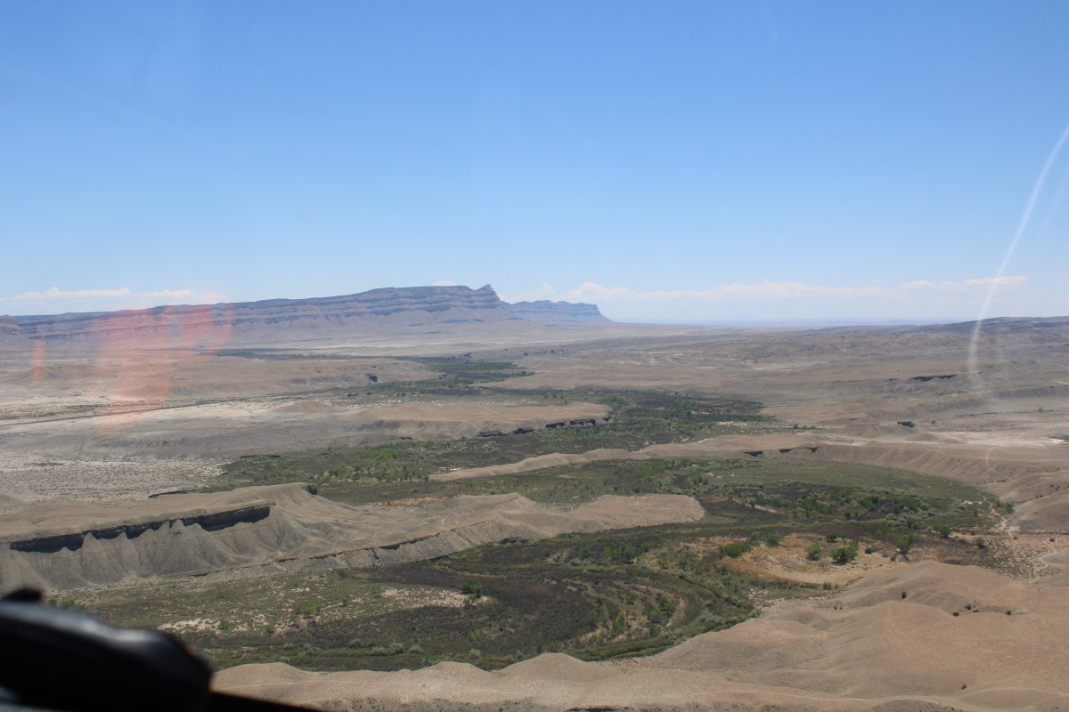
| It was now afternoon and the air was a little bumpy. Notice the cumulous clouds building in the distance. |
| |
 |
|
| |
| |
 |
|
|
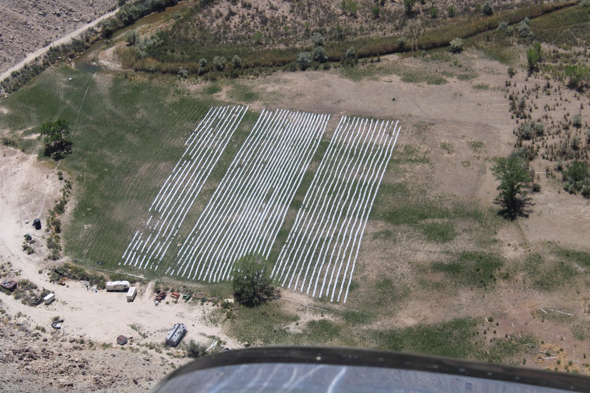
Not sure what those white lines are below. Cotton?
|
| |
 |
|
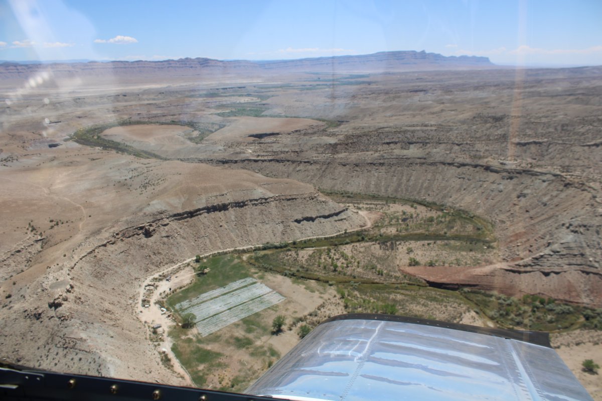
| I emerge from the canyon into the flatlands. |
| |
 |
|
|
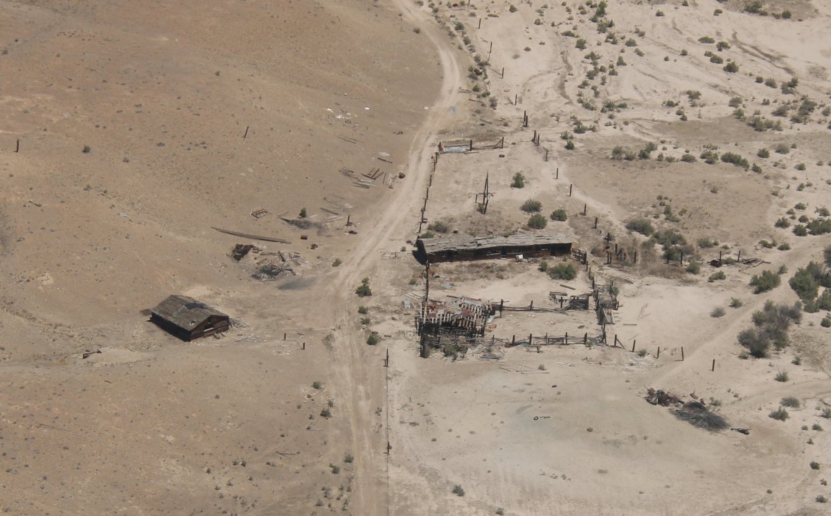
An old abandoned ranch.
|
| |
 |
|
| Roads and railroads heading south to the town of Green River. |
| |
 |
|
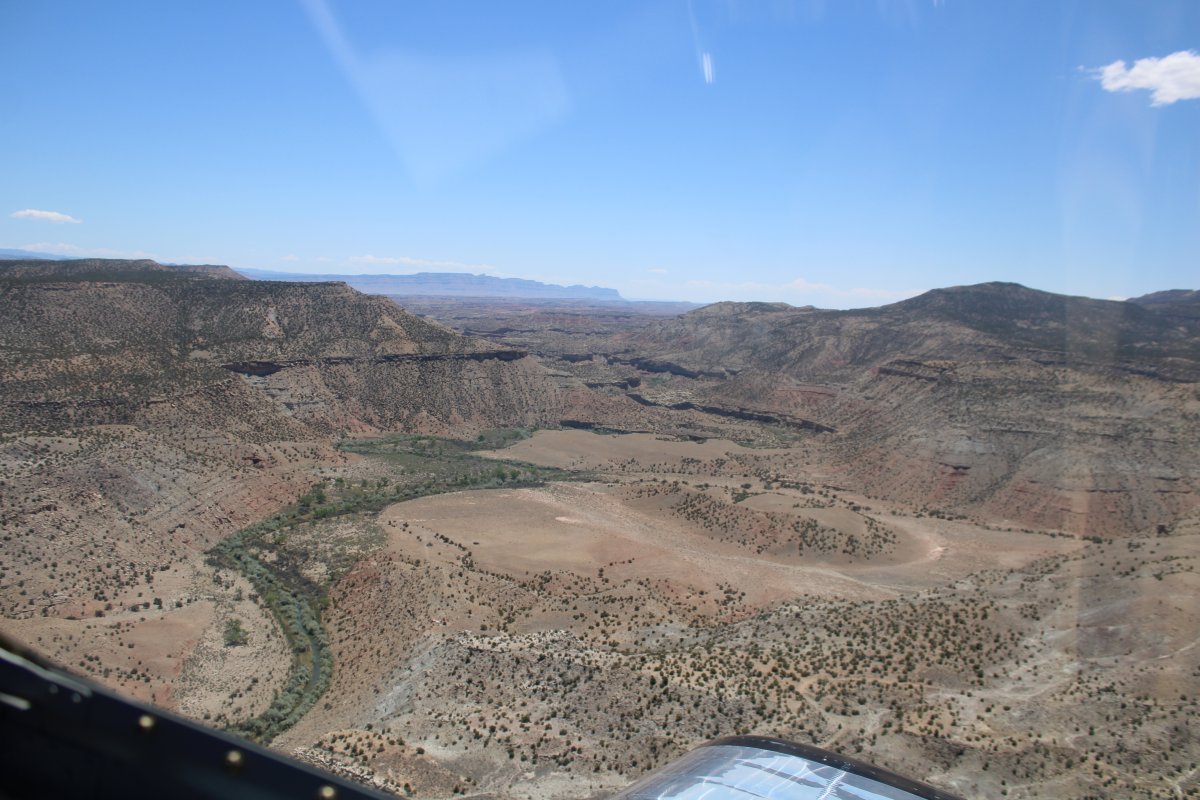
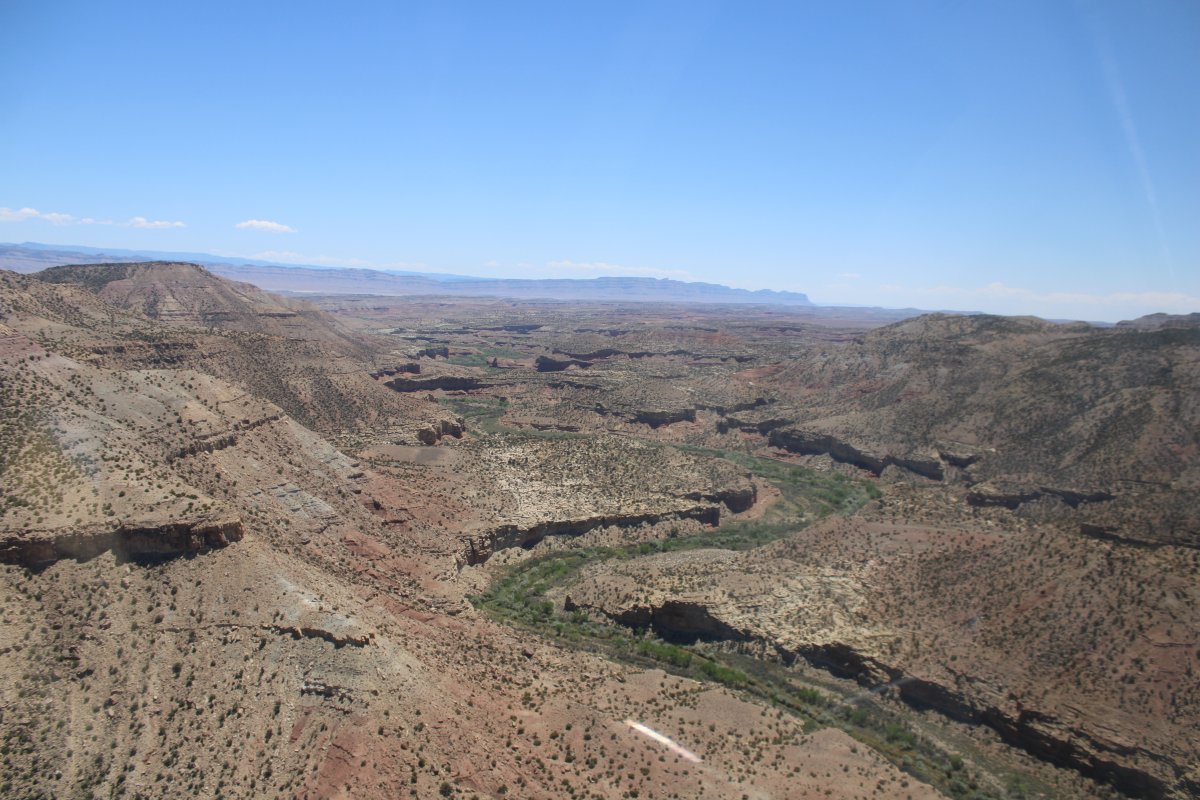
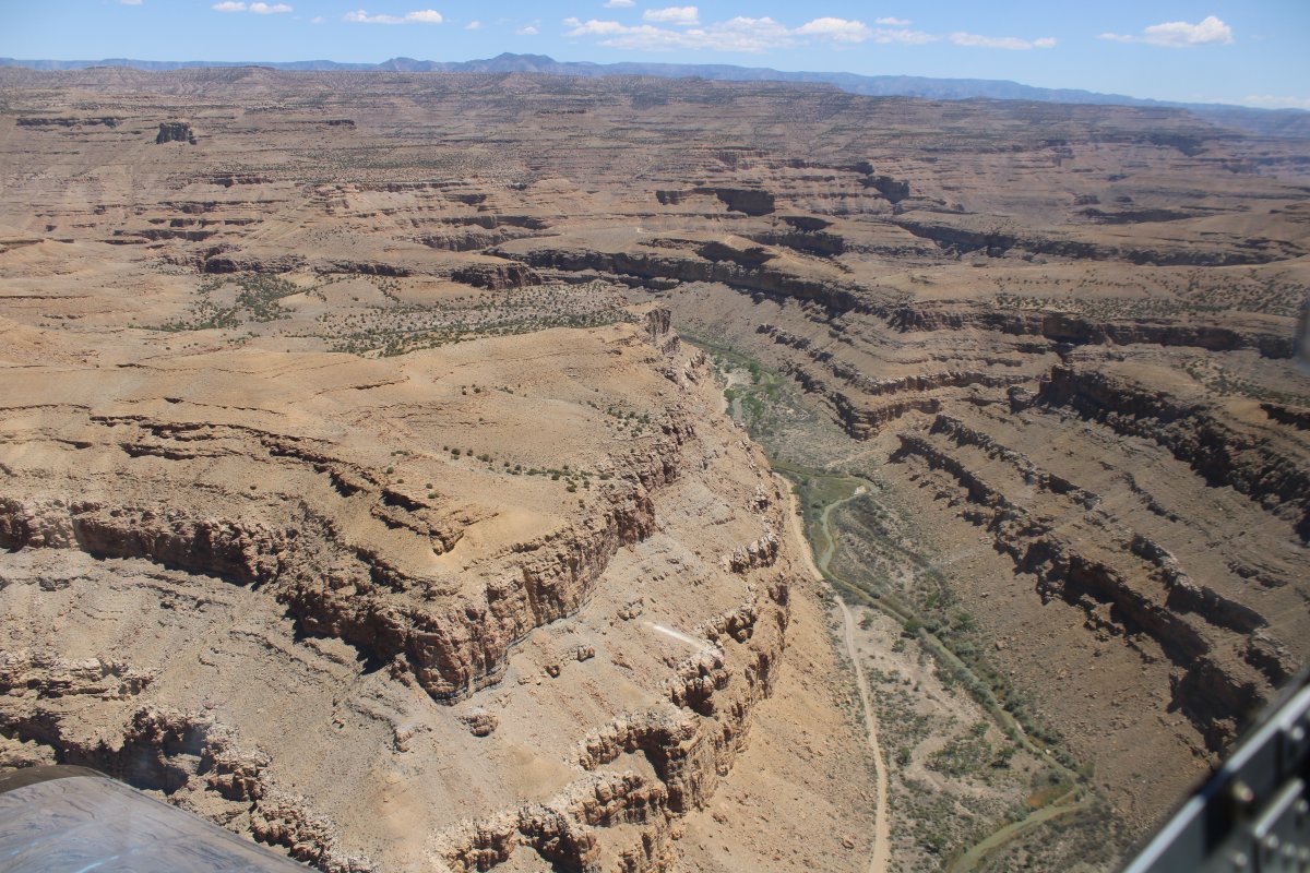
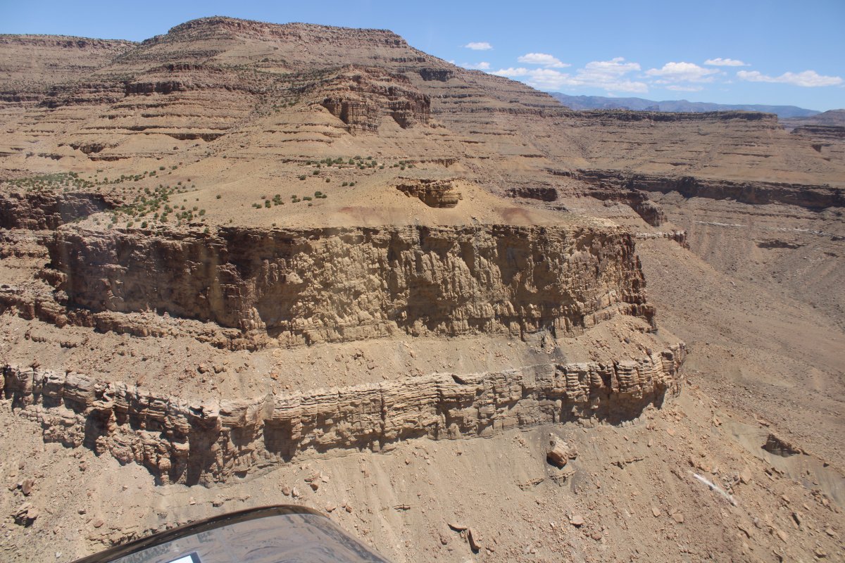
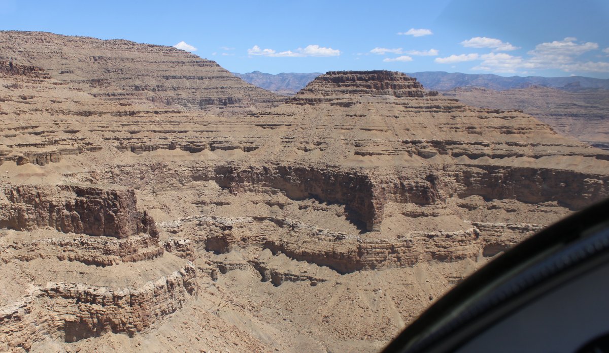
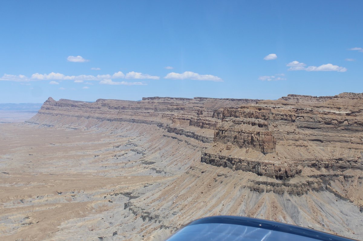
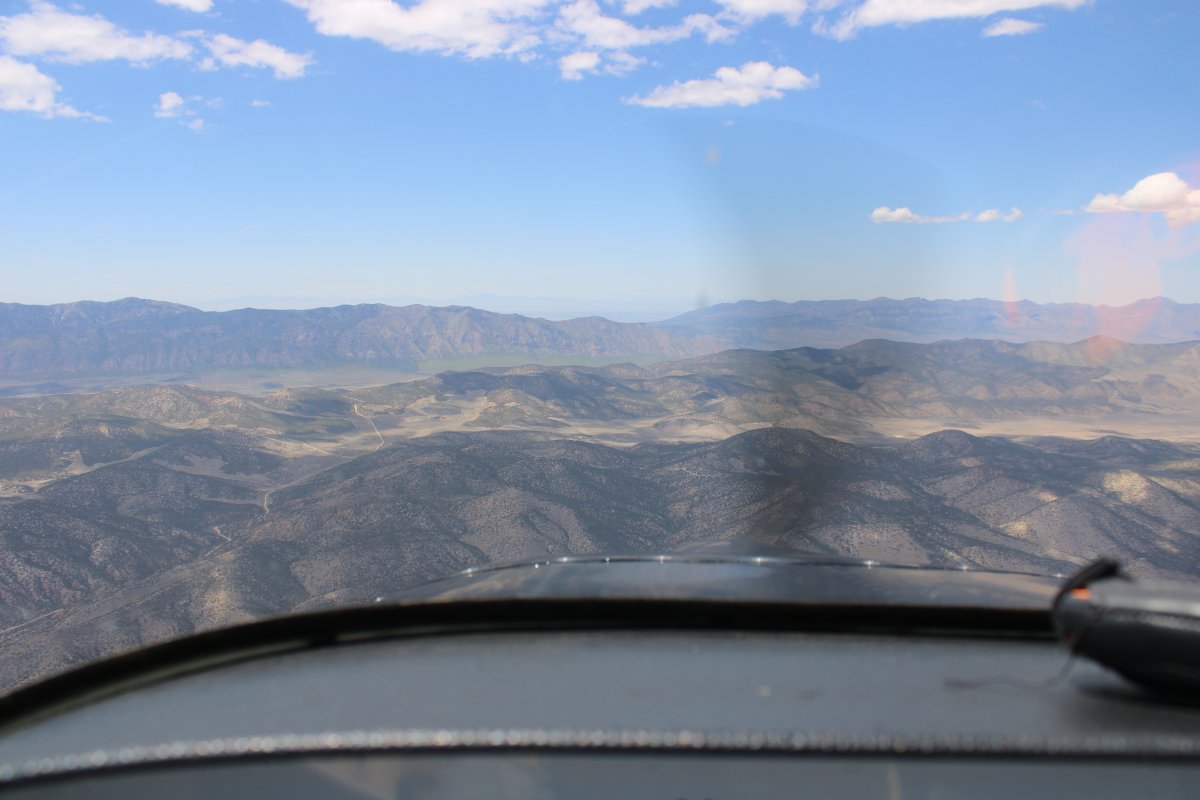
| But the Price River continues east-southeast and enters the Patmos Mountains. I have flown this canyon before and know it is wide enough to fly with no obstructions to worry about. |
| |
 |
|
| |
| |
 |
|
|
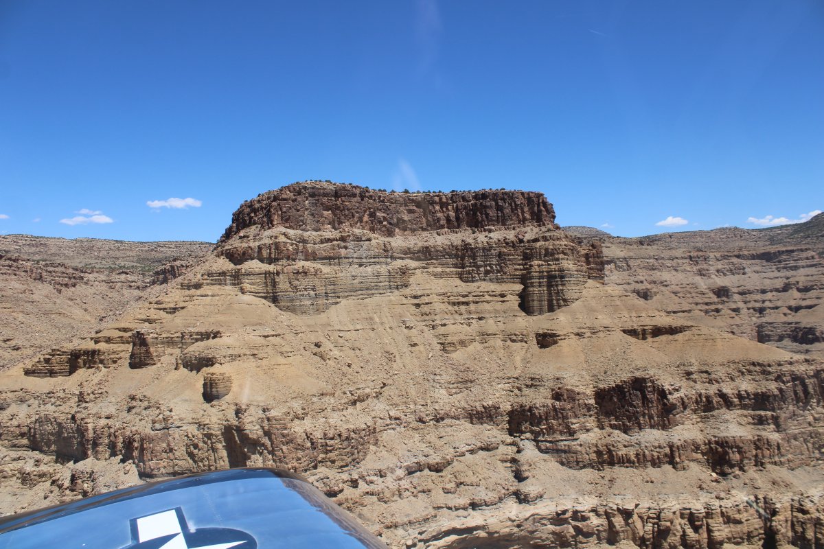
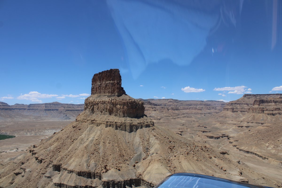
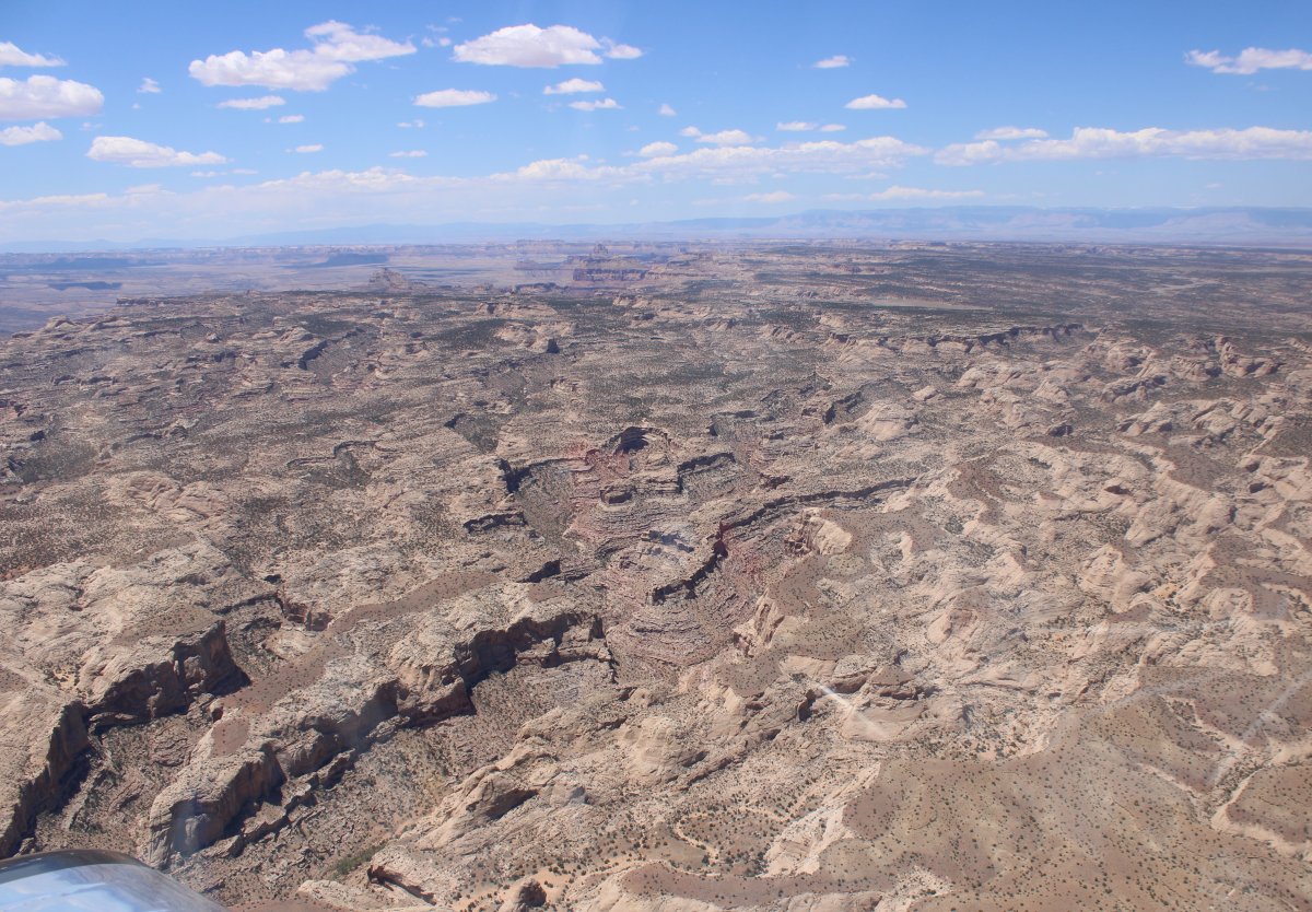
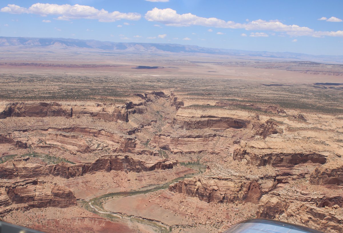
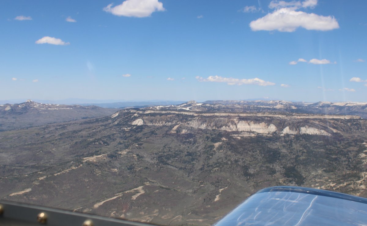
Almost like a mini-Grand Canyon.
|
| |
 |
|
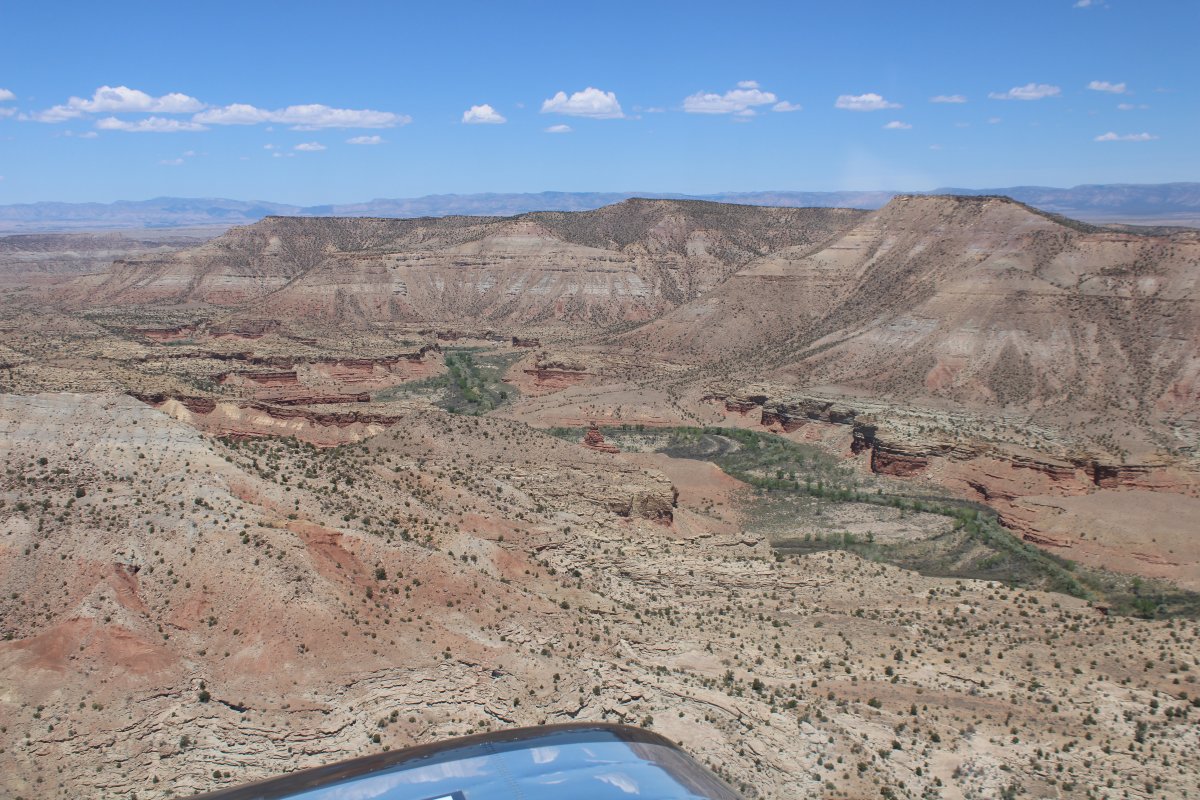
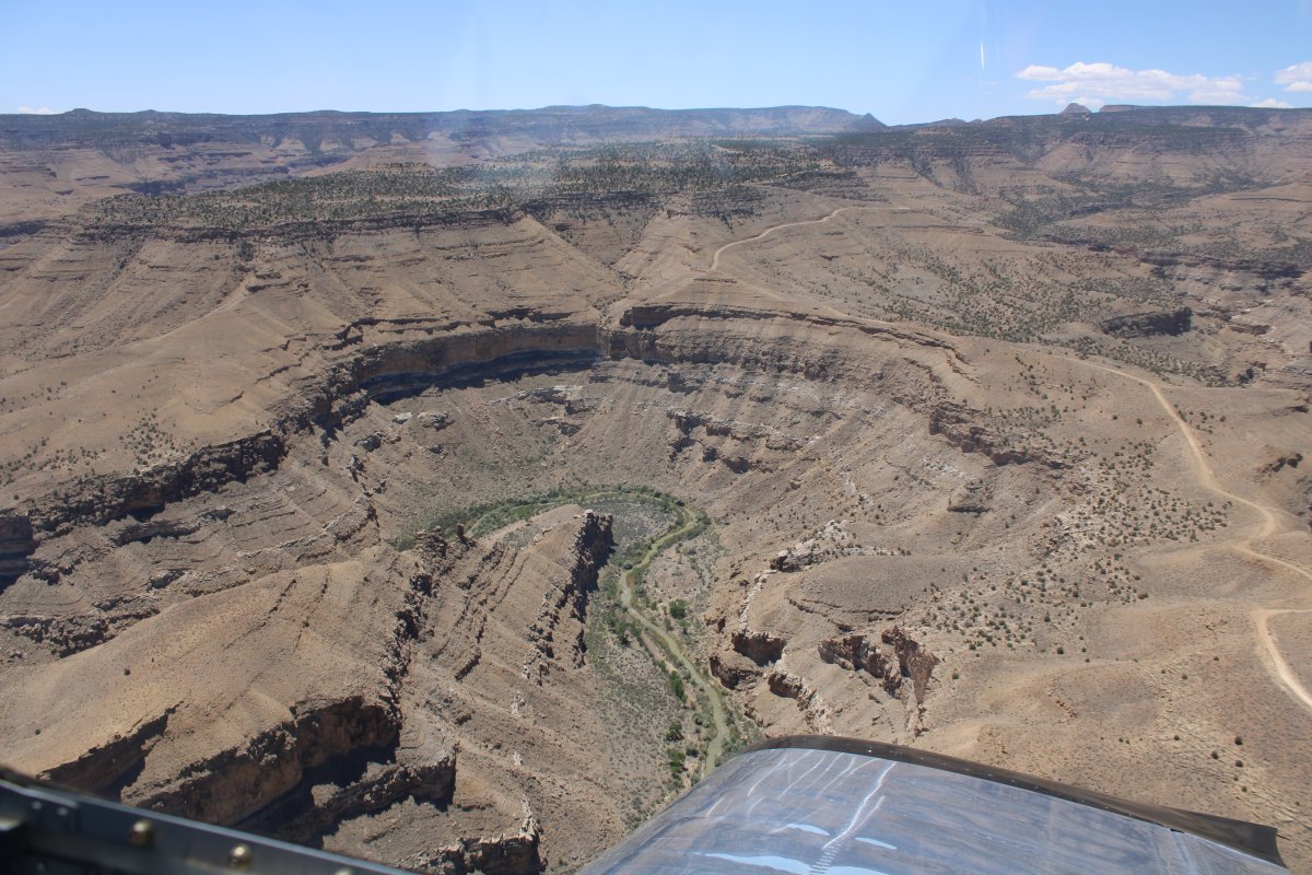
| Looking up at a big rock. |
| |
 |
|
| |
| |
 |
|
| |
| |
 |
|
|
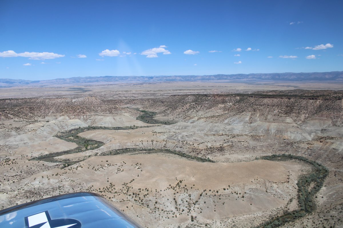
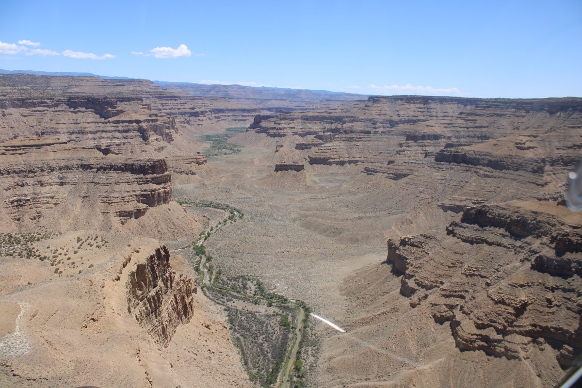
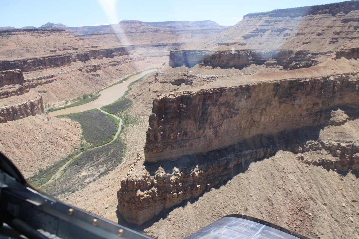
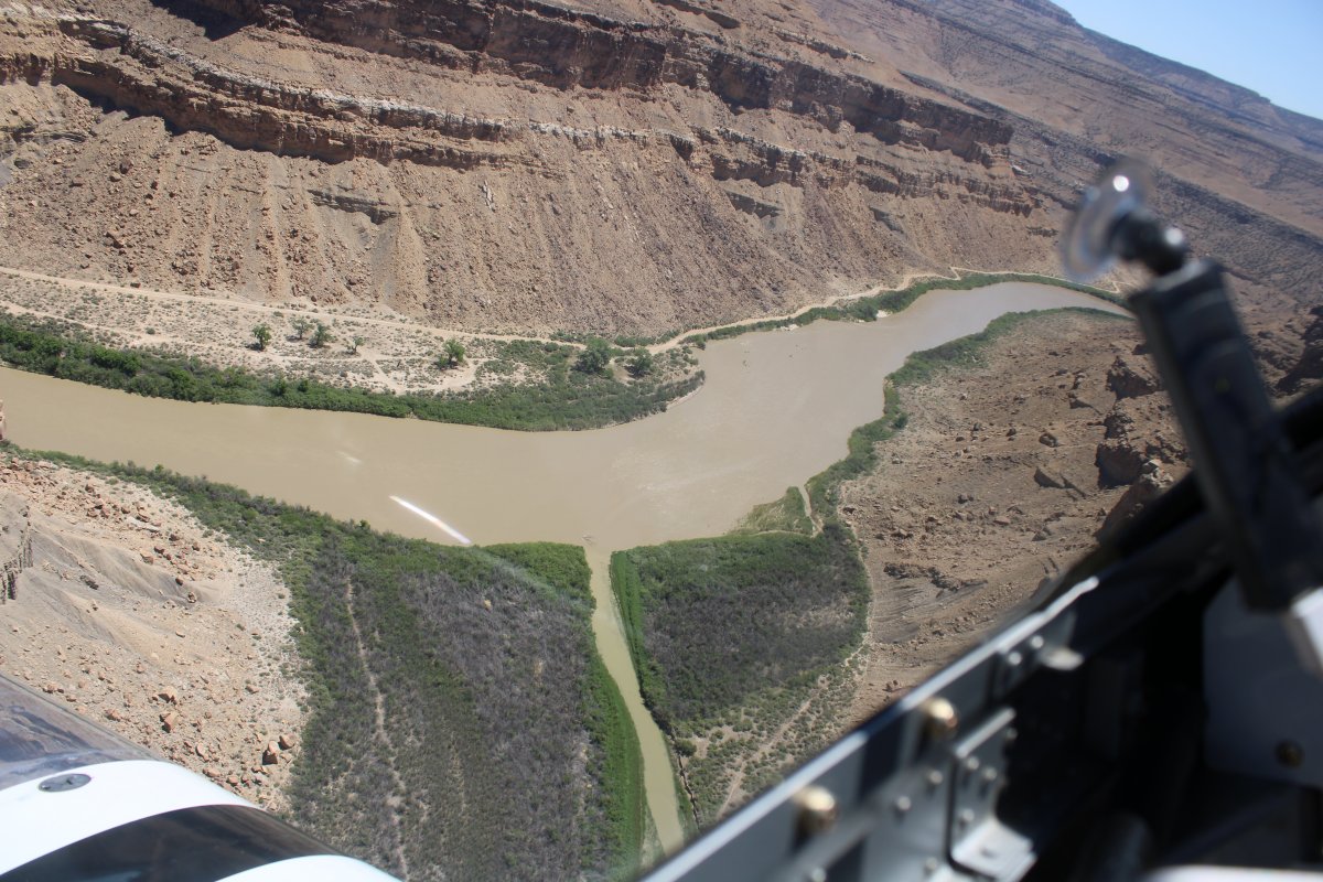
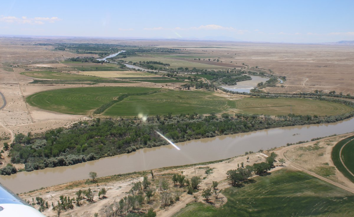
Approaching the confluence of the Price and Green Rivers.
|
| |
 |
|
| As you can see, the Green River is quite a bit bigger than the little Price River. |
| |
 |
|
|
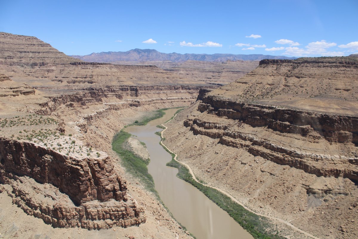
Back on my old friend, the Green River.
|
| |
 |
|
| Flying the Green River back in 2014 opened up a new flying world for me. It will always be my favorite river. |
| |
 |
|
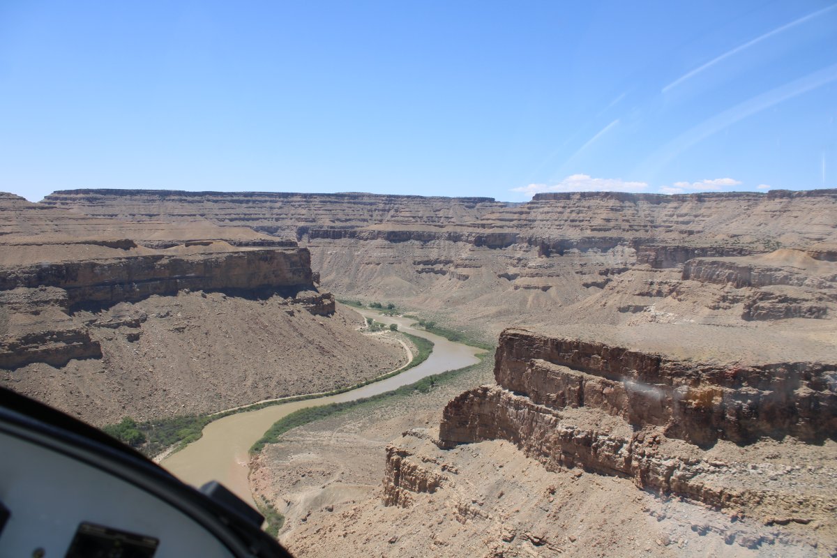
| Heading south through the Tavaputs Plateau. |
| |
 |
|
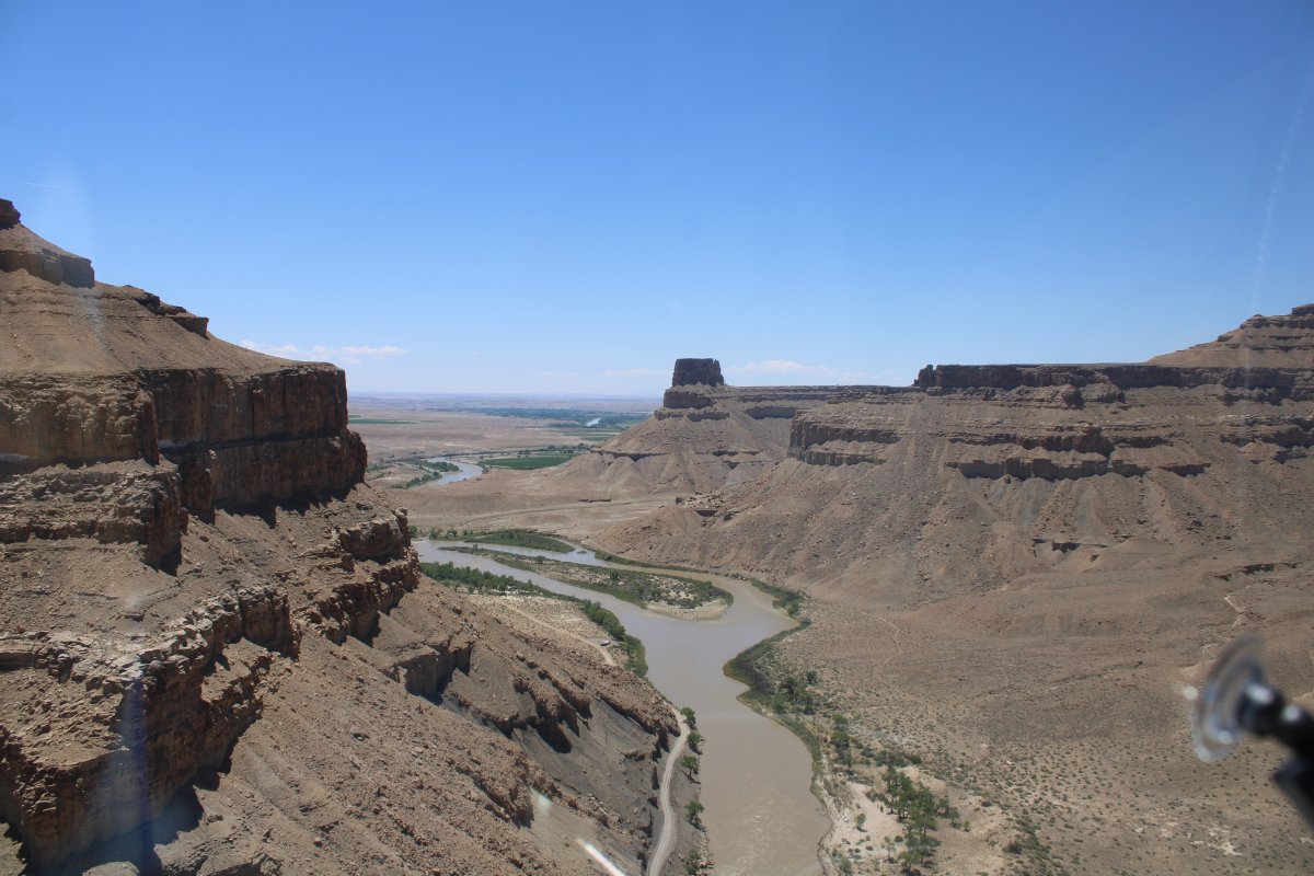
| Then I'm out into the flatlands -- except for this one Butte that didn't get the memo. |
| |
 |
|
|
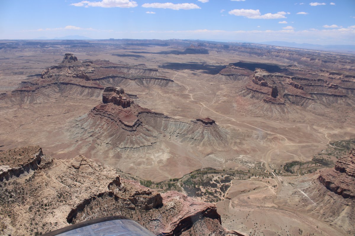
The Green River continues south, and its rendezvous with the Colorado River in Canyonlands National Park and then on to the Grand Canyon.
|
| |
 |
|
| It was time to conclude the sightseeing portion of the trip, get high, and make some distance. |
| |
 |
|
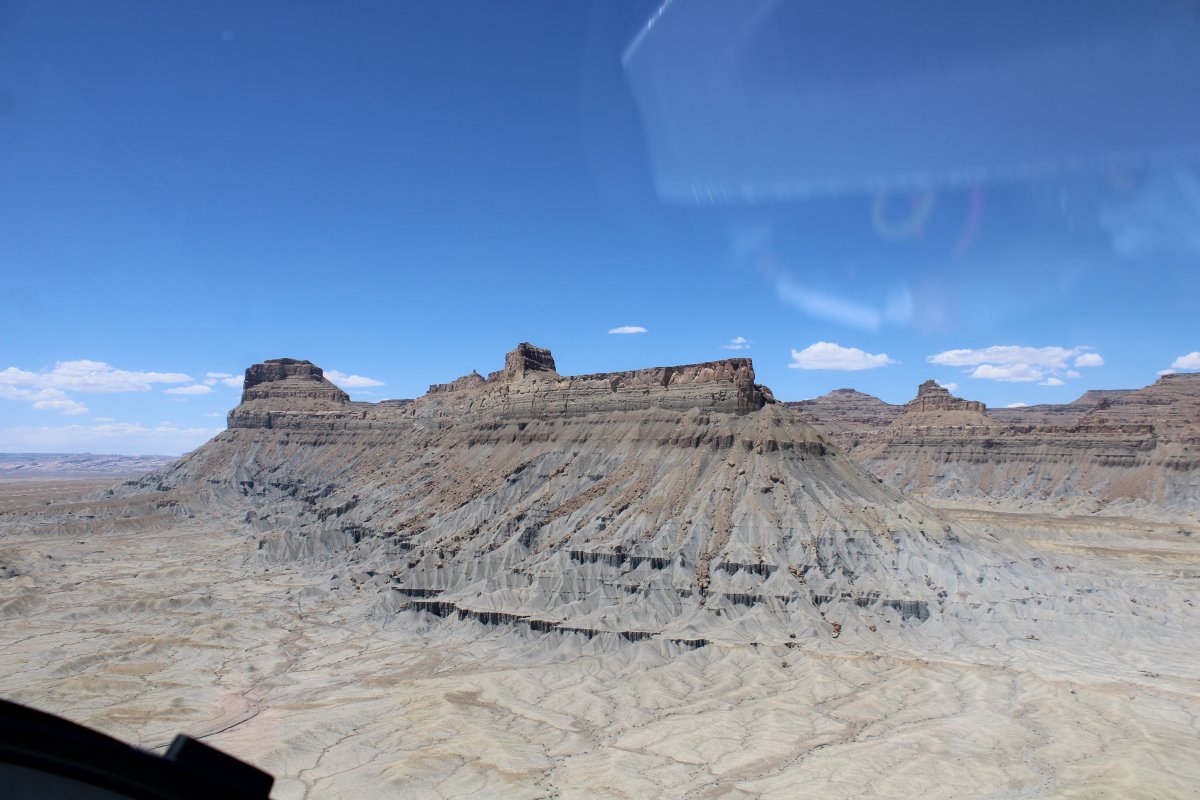
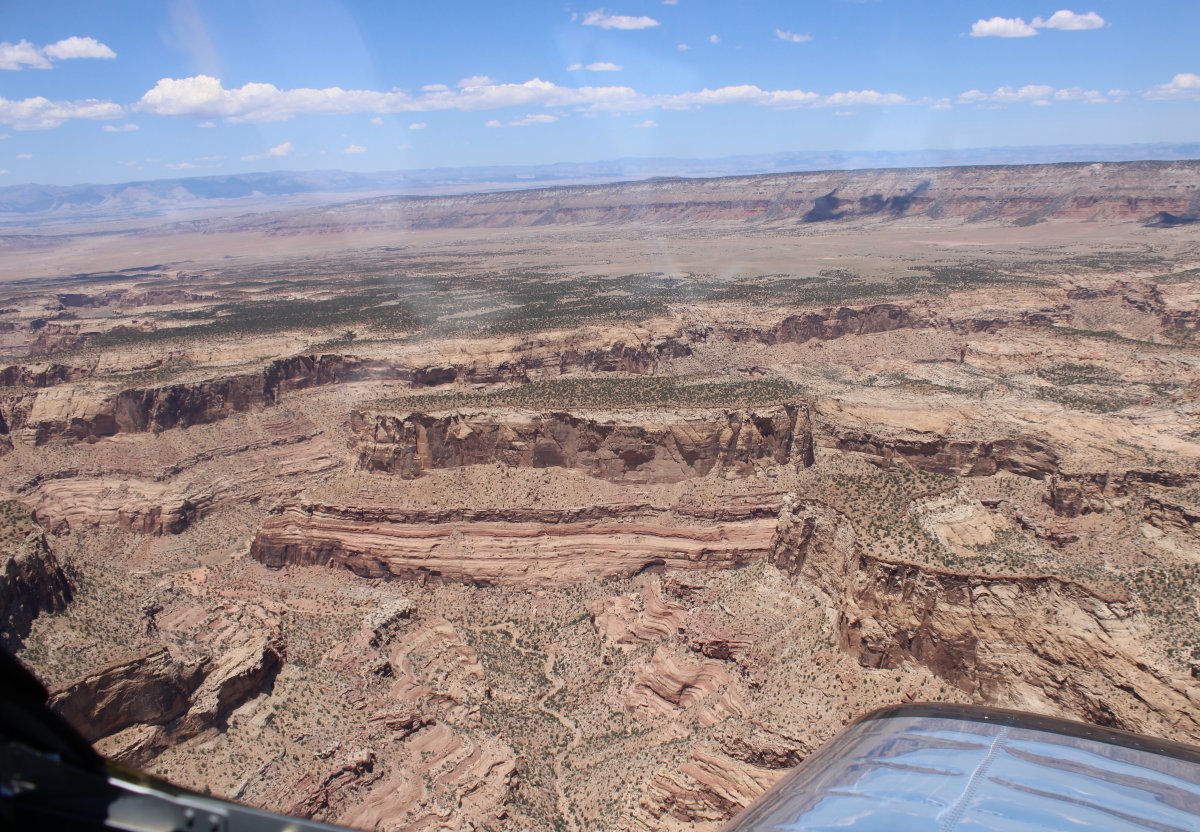
| One last look at the San Rafael Reef as it stretches southwest. |
| |
 |
|
| |
| |
 |
|
|
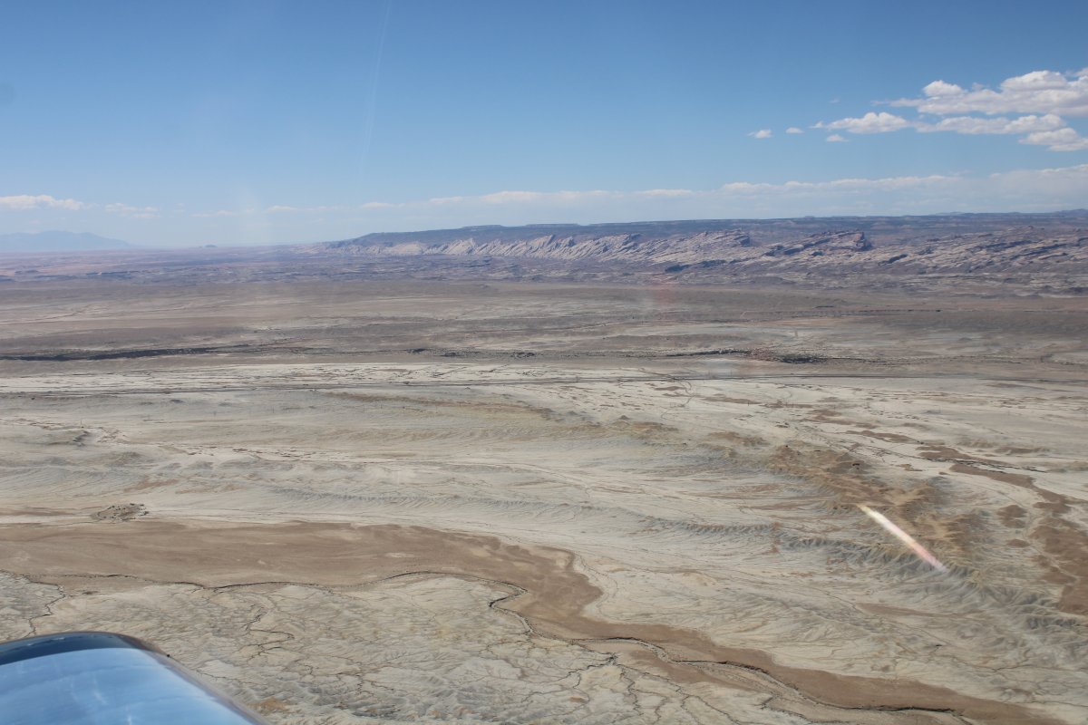
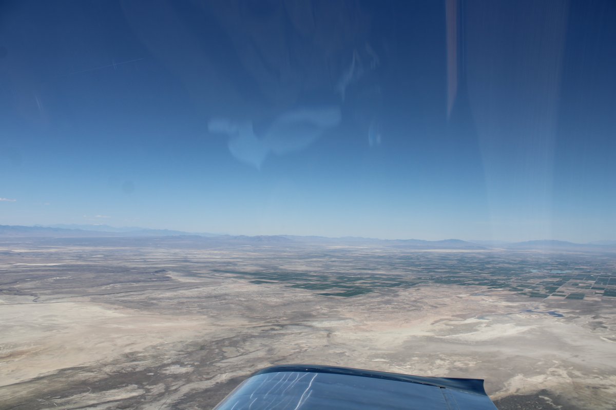
Passing over some badlands. Things look completely different at 4,000 feet above ground level than they did at 500 feet.
|
| |
 |
|
| |
| |
 |
|
|
|
| |
 |
|
| |
| |
 |
|
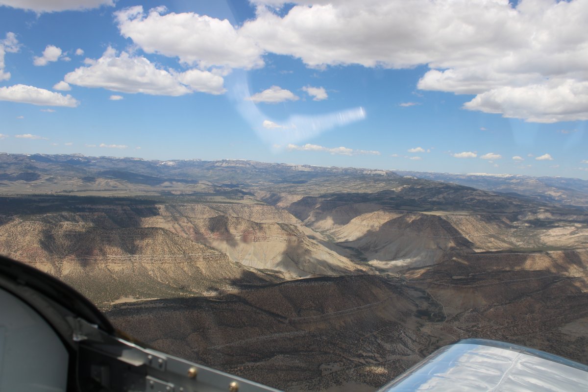
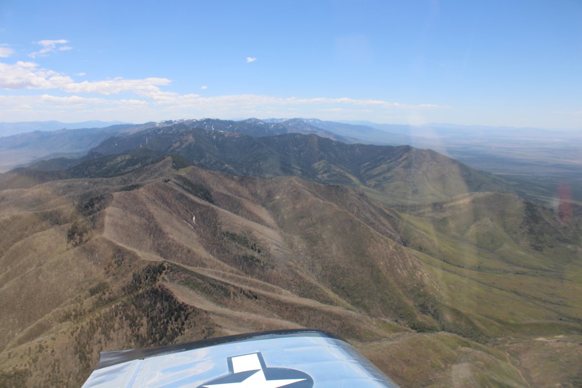
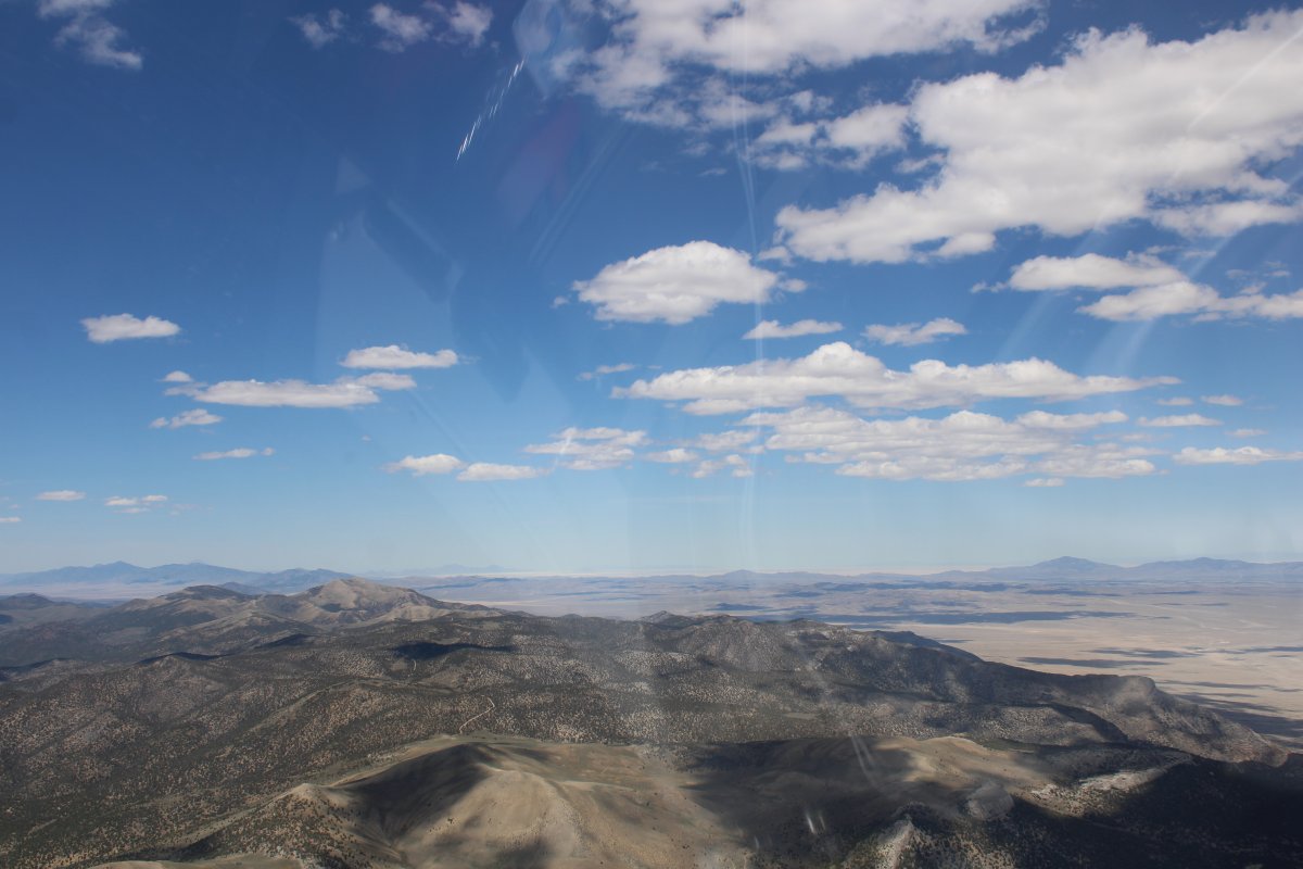
| Heading due west, I am passing between the Fish Lake Mountains to the south and the Wasatch Plateau to the north. |
| |
 |
|
| Look at all those cumulous clouds. I was definately experiencing desert thermals now. I'd be climbing 1,000 feet per minute one second and descending 1,000 feet per minute the next. And the stick never moved. |
| |
 |
|
|
I followed Interstate 70 over the mountain ridge, heading for a small town named Salina.
|
| |
 |
|
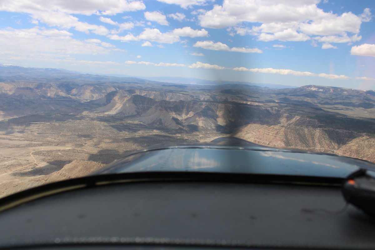
| Looking at the southern end of the Wasatch Plateau. |
| |
 |
|
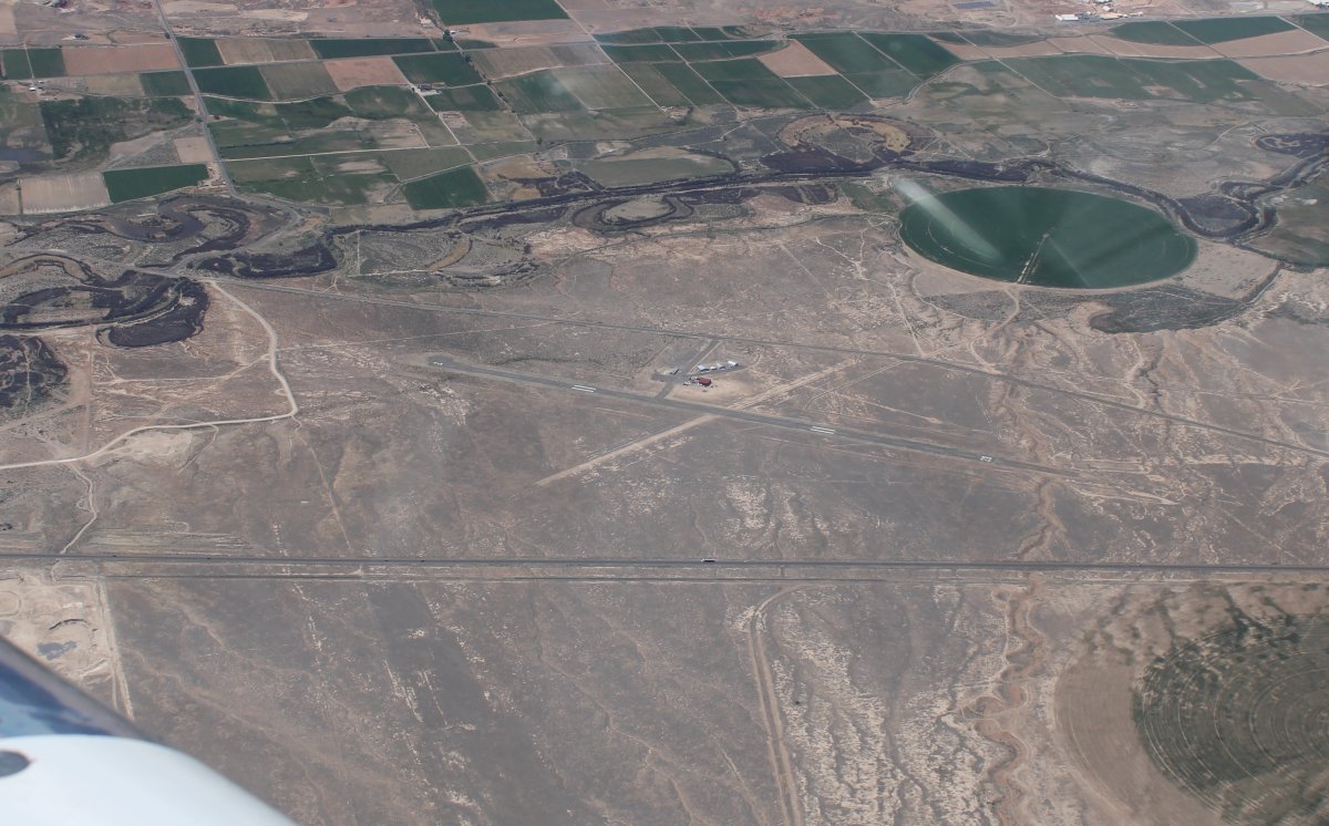
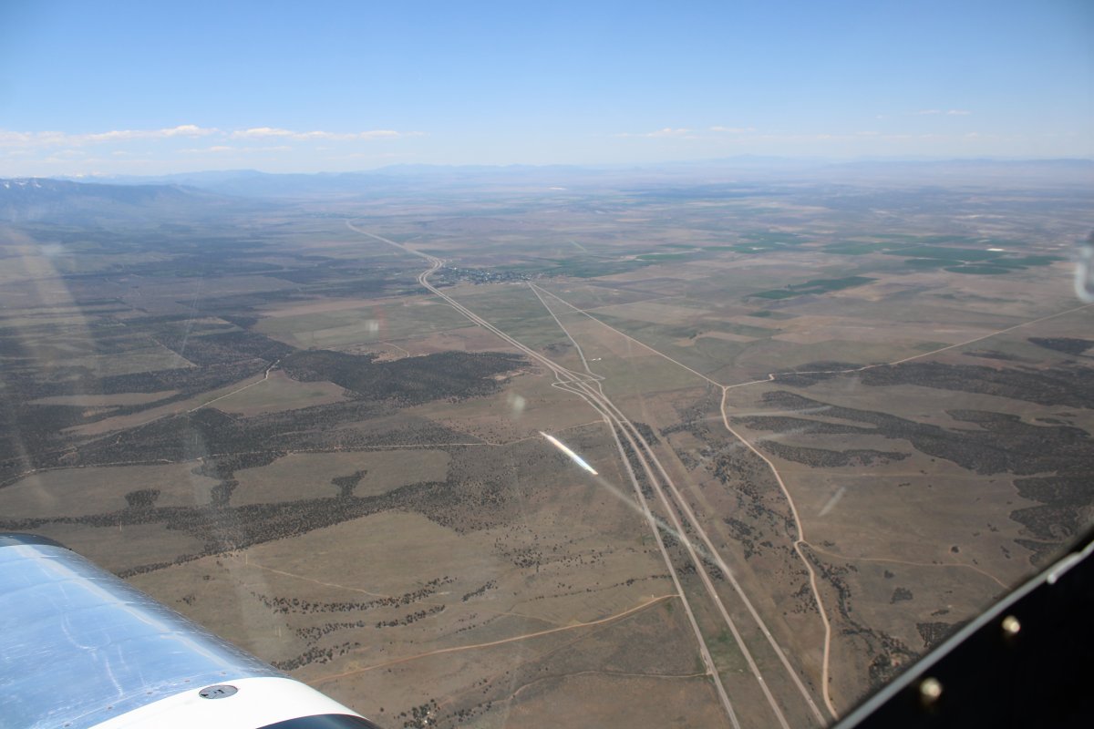
| Passing overhead Salina-Gunnison Airport (44U). Field elevation 5,159 feet msl. |
| |
 |
|
| The little town of Salina off the left wing. |
| |
 |
|
|
Looking north.
|
| |
 |
|
| More mountains straight ahead: the Pahvant Range. |
| |
 |
|
|
Crossing the Pahvant Range, looking south. Those are 10,000 foot mountains.
|
| |
 |
|
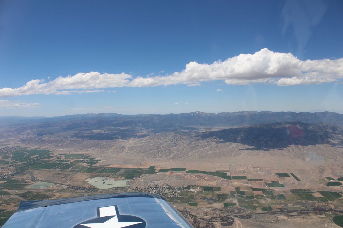
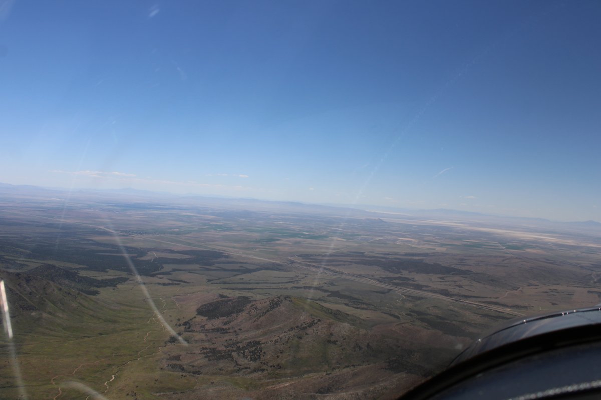
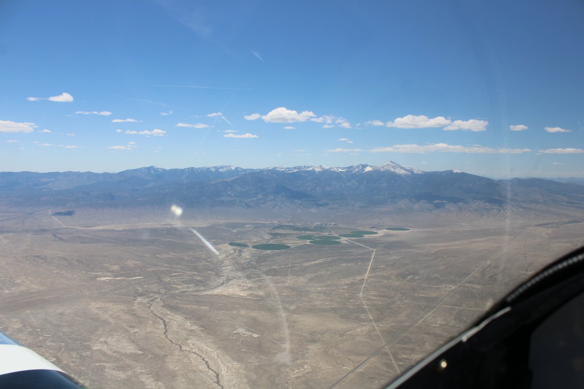
| Entering a big valley. |
| |
 |
|
| Interstate 15 heads southwest. |
| |
 |
|
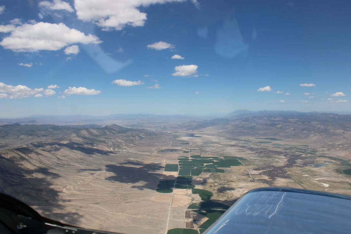
| The chart shows sand dunes down there. Had it been an early morning flight, with the air cool and smooth, I'd have gone down. But I'm nice and cool up here at altitude and in no mood to go down, get hot and bounced around. |
| |
 |
|
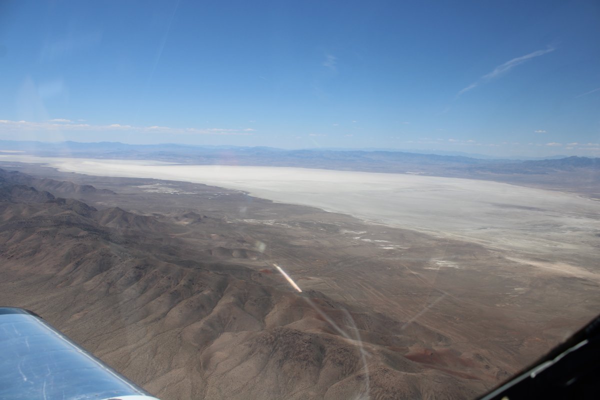
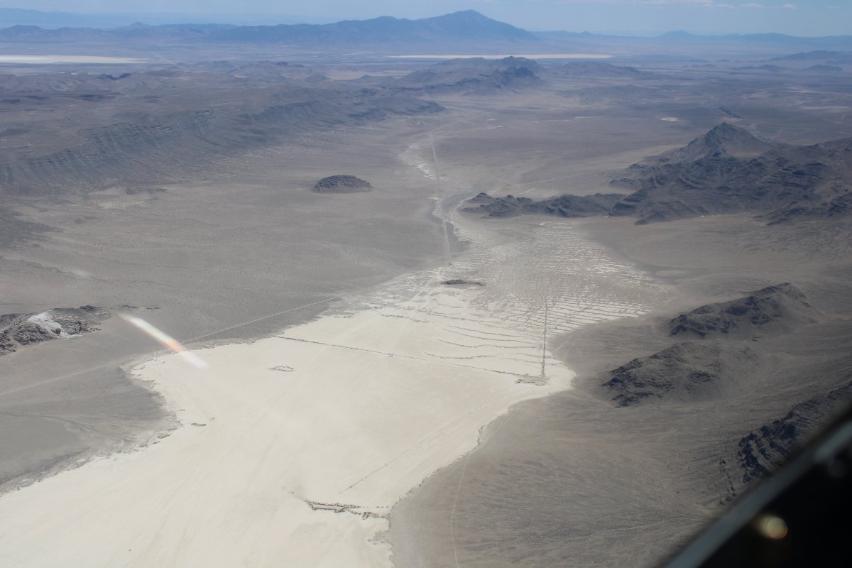
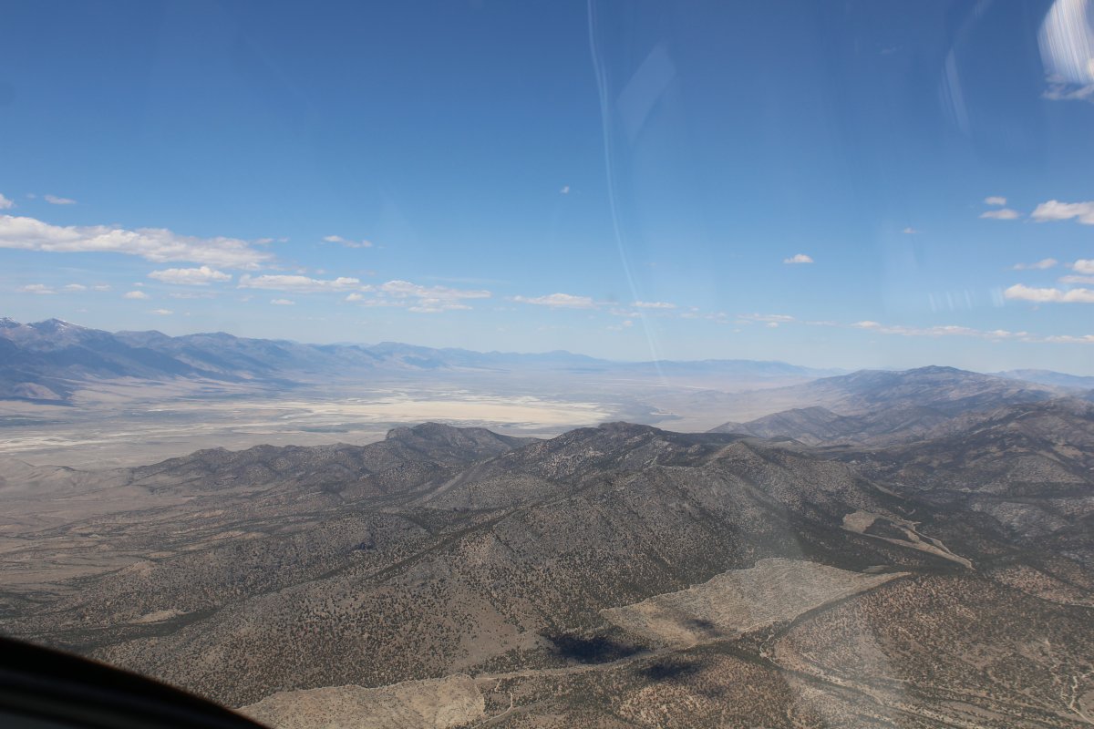
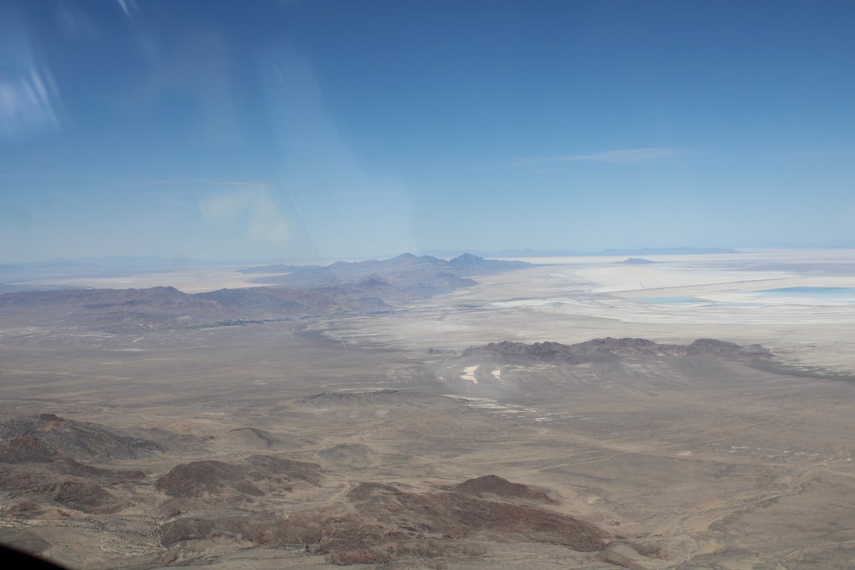
Approaching the north end of the huge dried salt Sevier Lake. |
| |
 |
|
| |
| |
 |
|
| You may be wondering why I was headed west -- into nothingness -- when Wendover is northwest of Green River. The answer is because I was heading towards the IBEX Hardpan. |
| |
 |
|
|
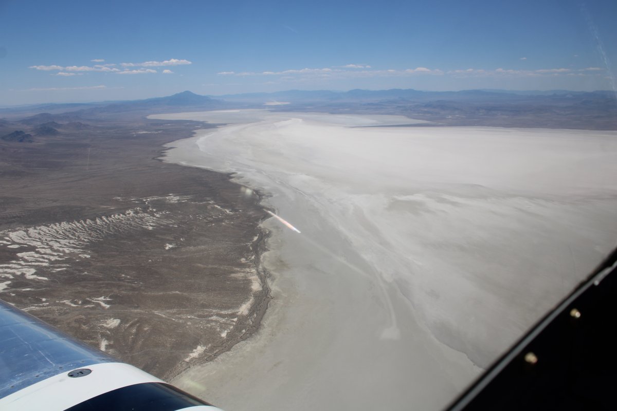
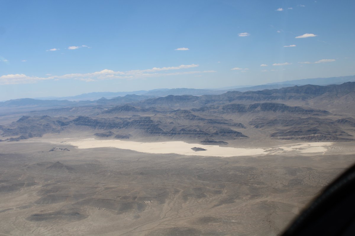
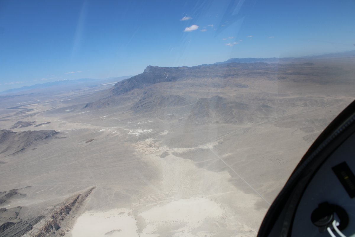
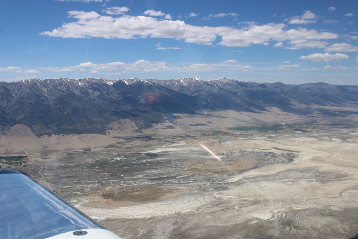
The IBEX Hardpan is a dry lake bed just west of Sevier Dry Lake. Iis one of the three back country airstrips included in the State's "FLY UTAH Passport Program". Generally pilots land north/south on the area south of the island that rises about 200 feet above the hardpan.
|
| |
 |
|
| Looking south at the IBEX Hardpan. There is supposed to be a windsock somewhere on that island but I didn't see it. But I was up fairly high. |
| |
 |
|
|
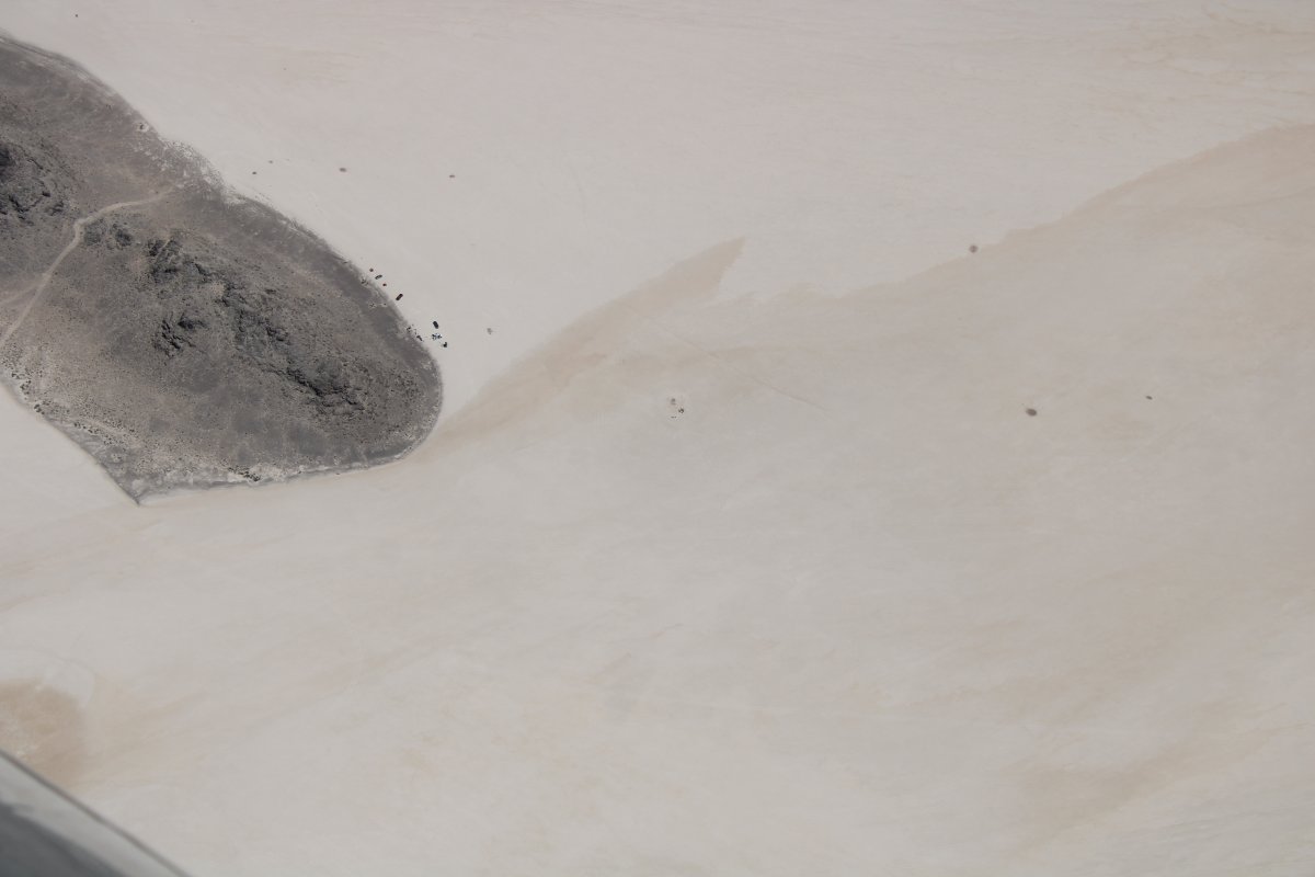
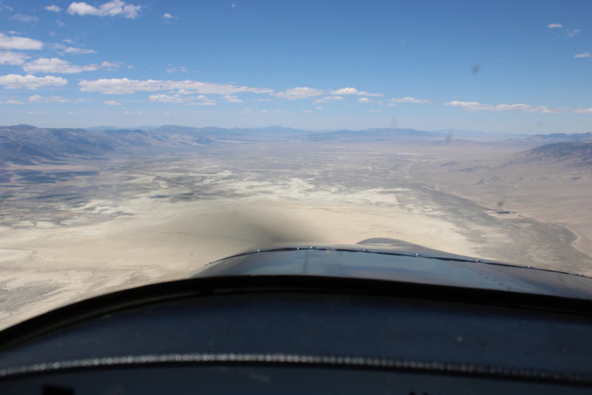
Looking at the southern end of the hardpan.
|
| |
 |
|
|
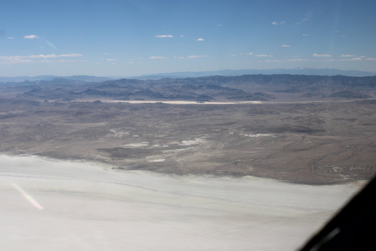
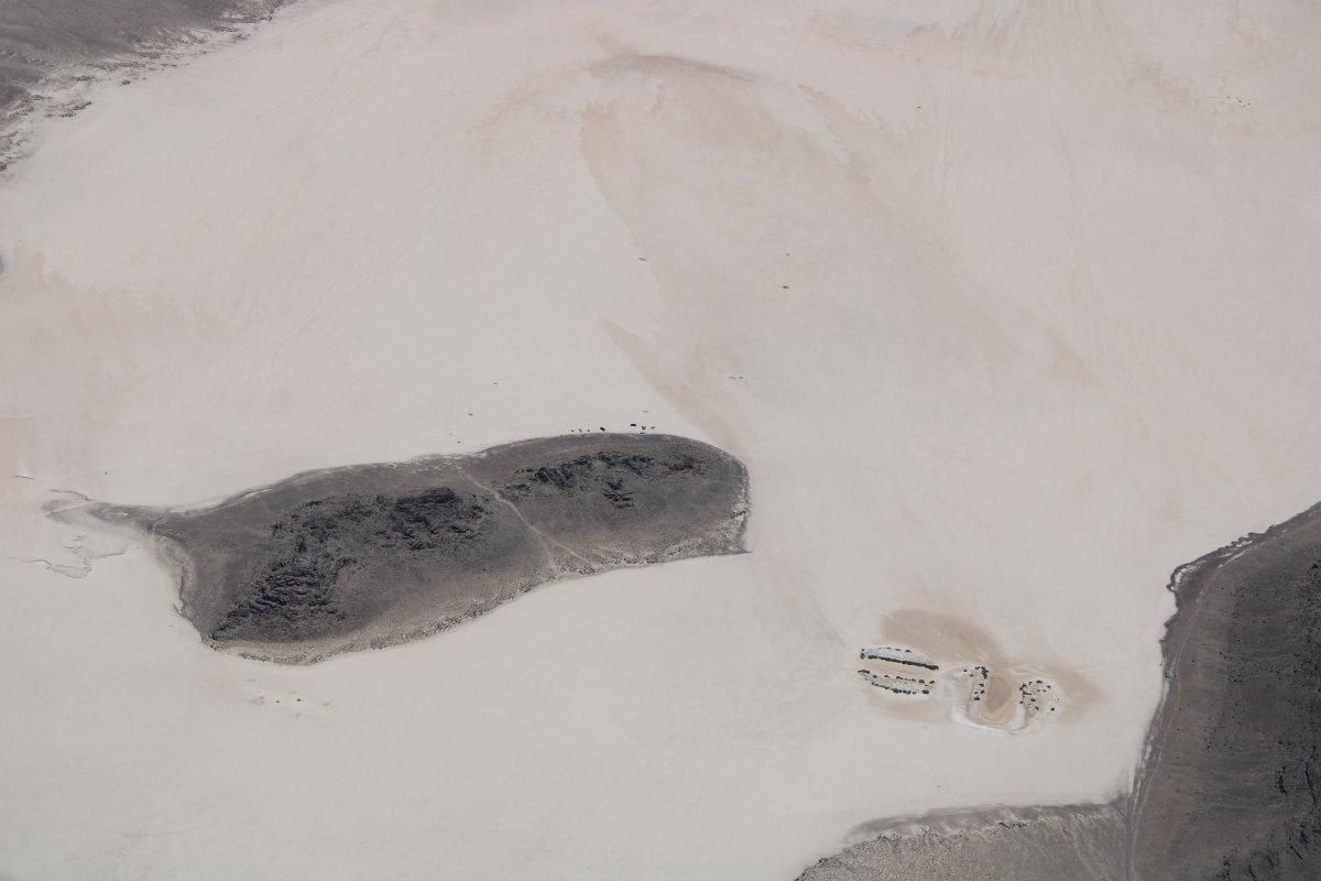
A close-up of the island. There are some vehicles parked by the island.
I decided against landing on the hardpan. I was up high, where it was cool, and did not really want to descend into the heat. My experience at Death Valley a couple of years ago definately weighed on my mind. I really like landing on dry lake beds, though, so maybe I can come back here someday. Seems like a neat place.
|
| |
 |
|
| I pointed the nose of the RV north-northwest and headed direct for Wendover. |
| |
 |
|
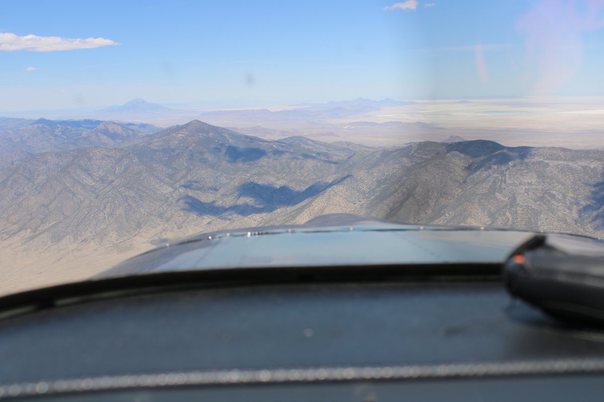
| To avoid restricted airspace, I had to head for the southern end of the Deep Creek Range, which includes a 12,000 foot mountain. |
| |
 |
|
|
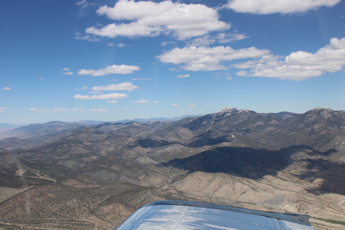
Passing by a large mountain off my left -- probably Wheeler Peak, 13,063 feet.
|
| |
 |
|
| Approaching the Sacramento Pass. |
| |
 |
|
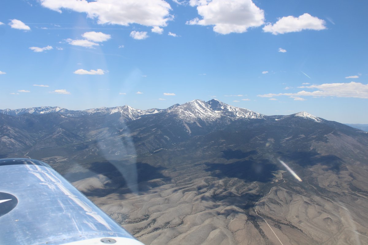
| To the north is Mount Moriah, 12,067 feet. |
| |
 |
|
| I'll be entering a north-south running valley, which will take me most of the way to Wendover. |
| |
 |
|
|
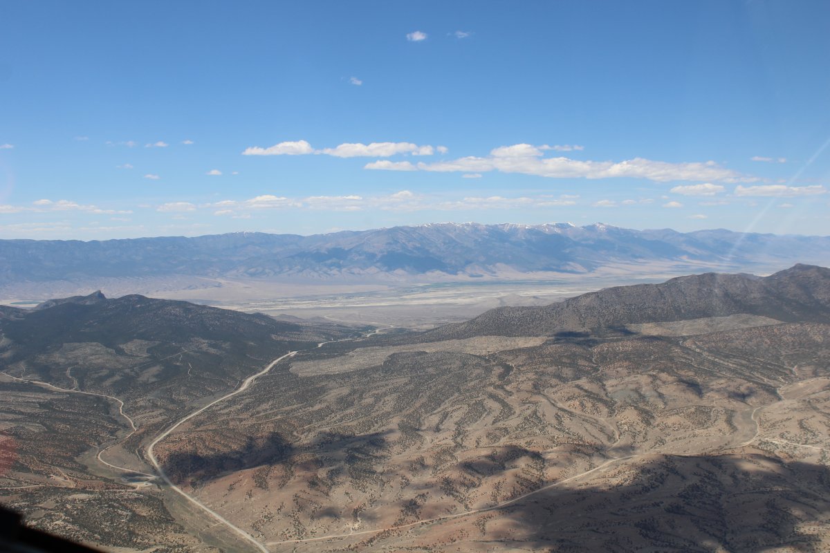
Now over the valley, with the Schell Creek Range on my left to the west.
|
| |
 |
|
| Heading north up the dry valley which itself is about 6,000 ft msl. |
| |
 |
|
|
I have restricted airspace to the east I have to stay out of.
|
| |
 |
|
| The restricted airspace slants to the northeast so I can turn northeast directly towards Wendover. But there is a 9,000 foot range I have to cross to get there. I'm up pretty high; not a problem. |
| |
 |
|
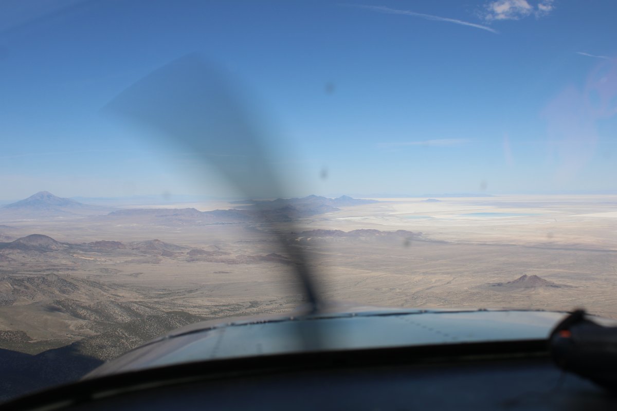
| Wendover in sight, dead ahead! |
| |
 |
|
|
Getting closer. You can see Interstate 80 running due east across the salt lake bed out of Wendover.
|
| |
 |
|
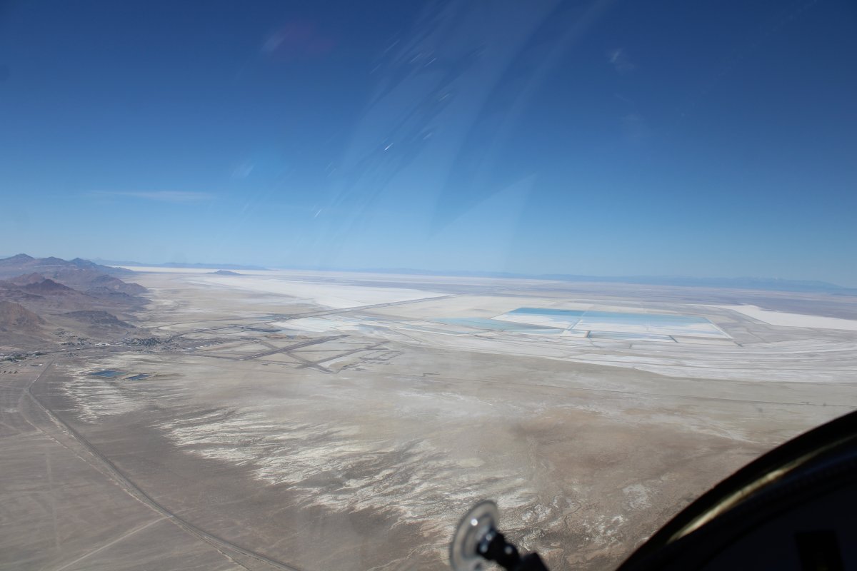
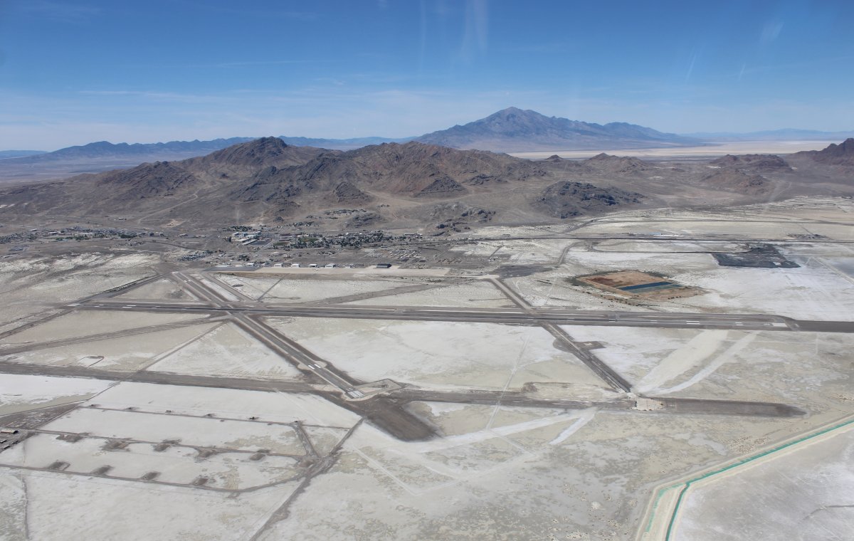
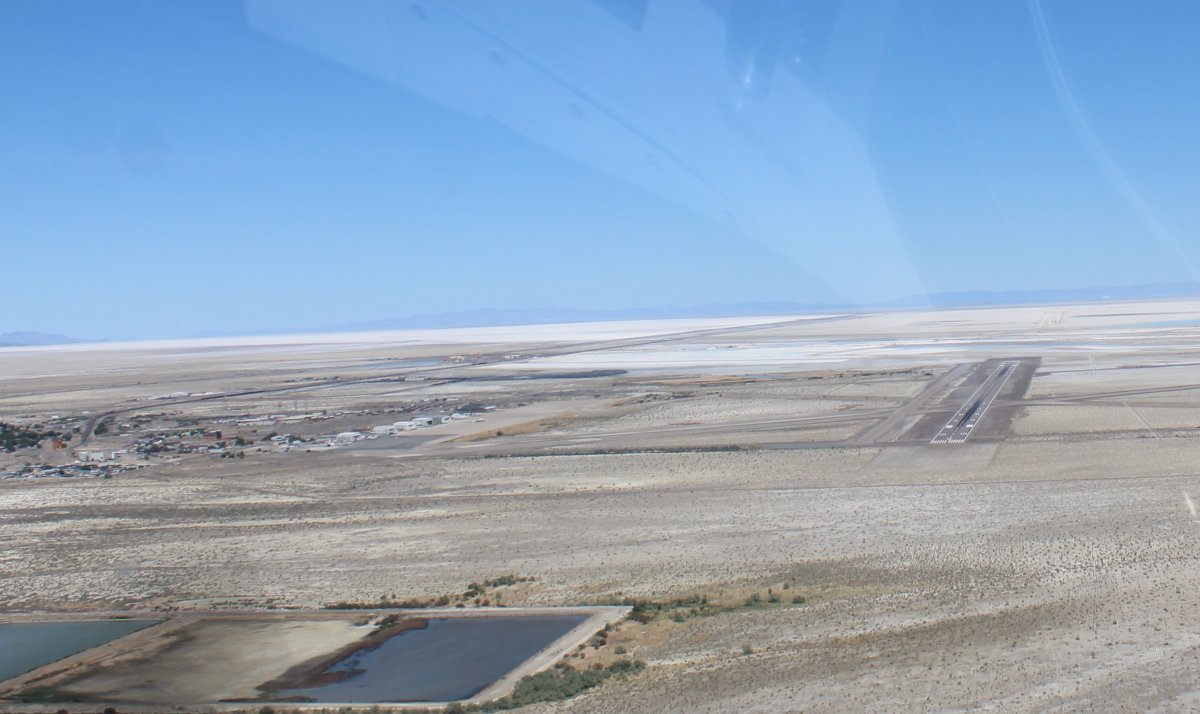
| Now the Wendover runways come into view. I have a lot of altitude to lose before I can land. Wendover field elevation is only 4,237 feet. |
| |
 |
|
| Wendover Airport has two long runways. But back in WWII when it was a gigantic bomber training base, it used to have a lot more than that, and they are still plainly visible. |
| |
 |
|
| Turning final at Wendover Airport. |
| |
 |
|
| |
| |
|
|
|
|
|
|